Have you ever wondered what lies beneath the surface of the ground you're standing on? For construction crews, developers, and archaeologists, this isn't just a matter of curiosity—it's a critical part of their work. Hitting an unmarked utility line or disturbing an archaeological find can lead to costly delays and significant safety hazards. This is where Ground Penetrating Radar (GPR) surveys become an indispensable tool.
GPR technology provides a non-invasive way to see what's hidden underground, offering a detailed picture without ever breaking ground. It's a powerful method used to map out subsurface features, from pipes and cables to geological formations and buried artifacts. This article will explain what GPR surveys are, how the technology functions, and explore its diverse applications across various industries. By the end, you'll have a clear understanding of why GPR is a go-to solution for subsurface investigation.
Understanding Ground Penetrating Radar (GPR)
Ground Penetrating Radar is a geophysical method that uses radar pulses to image the subsurface. It is a non-destructive technique that can detect and map underground objects and structures. Think of it as a high-tech version of a fish-finder, but for the ground. Instead of sound waves, GPR sends high-frequency radio waves into the earth and records the reflections that bounce back.
How Does GPR Technology Work?
The process of a GPR survey is relatively straightforward, but the science behind it is fascinating. A GPR system consists of a few key components: a transmitter, a receiver, an antenna, and a control unit that records the data.
- Transmitting the Signal: The GPR unit's transmitter sends a short pulse of electromagnetic energy into the ground through an antenna. The frequency of this pulse can be adjusted depending on the survey's goals. Higher frequencies provide higher-resolution images but can't penetrate as deeply, while lower frequencies can reach greater depths but with less detail.
- Signal Interaction: As the radio waves travel through the ground, they encounter different materials. When the waves hit a boundary between two materials with different dielectric properties (a measure of how well a material can store electrical energy), some of the energy is reflected back to the surface. This could be a pipe, a layer of rock, a void, or even a change in soil moisture.
- Receiving the Reflection: The GPR antenna on the surface receives the reflected waves. The system measures the two-way travel time—the time it takes for the pulse to travel from the transmitter, reflect off an object, and return to the receiver.
- Creating an Image: The control unit processes this data. By knowing the travel time and the velocity of the radar waves through the specific ground material, the system can calculate the depth of the object. As the operator moves the GPR unit across the surface, it collects a series of these reflections, creating a cross-sectional image, or "radargram," of the subsurface. This radargram looks like a series of wavy lines, where each wave represents a detected feature.
An experienced GPR technician can interpret these radargrams to identify the location, depth, and type of objects buried underground. The result is a comprehensive map that helps clients avoid potential hazards and make informed decisions.
Key Applications of GPR Surveys
The versatility of GPR makes it a valuable tool across a wide range of industries. Its ability to provide accurate subsurface data without excavation saves time, reduces costs, and enhances safety.
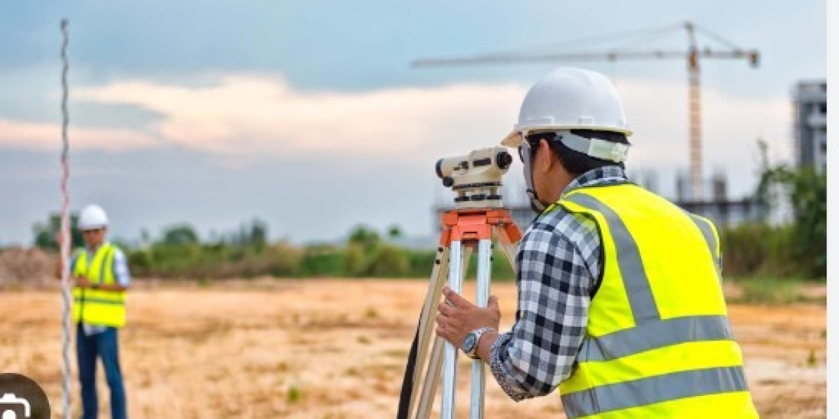
Construction and Engineering
In the construction world, the unknown is a significant risk. GPR surveys help mitigate this risk by providing clear insights into what lies beneath a job site.
- Utility Locating: Before any digging begins, it's crucial to locate all underground utilities, such as water pipes, gas lines, electrical conduits, and communication cables. Accidentally striking one of these can cause service disruptions, expensive repairs, and dangerous accidents. GPR can accurately map these utilities, even those that are non-metallic and difficult to find with other methods.
- Concrete Scanning: GPR is used to inspect concrete structures like bridges, buildings, and parking garages. It can locate rebar, post-tension cables, and conduits embedded within the concrete, which is essential before drilling or cutting. It can also detect voids and delamination that could compromise the structure's integrity.
- Road and Pavement Assessment: GPR surveys can evaluate the condition of asphalt and concrete pavements, measuring layer thickness and identifying subsurface defects like voids or water intrusion without needing to take core samples.
Environmental Assessment
Environmental consultants rely on GPR to investigate sites for potential contamination and to understand the local geology.
- Locating Underground Storage Tanks (USTs): Abandoned USTs can leak hazardous materials into the soil and groundwater. GPR is highly effective at finding these buried tanks so they can be safely removed.
- Mapping Contamination Plumes: GPR can help map the extent of soil and groundwater contamination, tracking how pollutants are spreading underground.
- Bedrock and Water Table Mapping: Understanding the depth to bedrock and the water table is crucial for many environmental and construction projects. GPR can provide this information quickly and accurately.
Archaeology and Forensics
GPR has revolutionized archaeology by allowing researchers to explore sensitive sites without disturbing them.
- Identifying Burial Sites: GPR can detect buried graves, tombs, and other features associated with historical burial grounds.
- Locating Ancient Structures: Archaeologists use GPR to map the foundations of old buildings, walls, and other buried structures, helping them to plan targeted excavations.
- Forensic Investigations: Law enforcement agencies use GPR to search for buried evidence, including clandestine graves or hidden weapons, in criminal investigations.
Advantages of Using GPR Surveys
Compared to traditional methods of subsurface investigation like excavation, GPR offers several distinct benefits.
- Non-Invasive: The most significant advantage is that GPR is non-destructive. It allows for a detailed look underground without any digging, preserving the site and reducing environmental impact.
- Speed and Efficiency: A GPR survey can cover a large area in a relatively short amount of time, providing real-time results. This speed helps keep projects on schedule.
- Cost-Effective: By preventing costly damage to utilities and allowing for precise planning, GPR surveys can save projects a substantial amount of money in the long run.
- Safety: Identifying potential hazards like gas lines or unstable ground before work begins dramatically improves safety for workers and the public.
- Versatility: GPR can be used in a variety of materials, including soil, rock, concrete, and even ice, making it suitable for a wide array of applications.
Frequently Asked Questions
What is the maximum depth a GPR survey can reach?
The depth penetration of GPR depends on the antenna frequency and the ground conditions. Lower frequency antennas (e.g., 250 MHz) can penetrate deeper, sometimes up to 30 feet (9 meters) in ideal conditions like dry, sandy soil. Higher frequency antennas (e.g., 1000 MHz) offer higher resolution but have a shallower penetration depth, typically a few feet. Clay-rich or moist soils can limit GPR's depth capabilities.
Can GPR identify the exact type of material underground?
GPR detects changes in subsurface materials but cannot directly identify the material type. For example, it can show the location and depth of a pipe, but it can't definitively tell you if it's PVC or metal based on the GPR data alone. However, an experienced technician can make educated interpretations based on the shape, size, and reflective properties of the object, often combining the data with existing site plans for accurate identification.
Is GPR technology safe?
Yes, GPR technology is safe. The radio waves emitted by the equipment are very low power, similar to those from a standard radio or other everyday electronic devices. It poses no health risk to operators or the public.
The Future of Subsurface Exploration
GPR surveys represent a critical intersection of technology and practicality, providing an essential window into the world beneath our feet. From ensuring the safety of a construction site to uncovering the secrets of an ancient civilization, the applications are as diverse as they are vital. As the technology continues to advance, offering even greater resolution and deeper penetration, its role in enabling smarter, safer, and more efficient projects will only grow. By choosing to investigate the unseen, we empower ourselves to build, discover, and protect with greater confidence and precision.